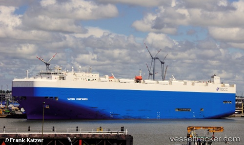
Find the position of the vessel '636020905' on the map. The latter are known coordinates and path.
marine traffic ship tracker show on live map
The current position of vessel '636020905' is -38.7232 lat / 148.367 lng. Updated: 2024-09-25 12:36:04 UTCPort of registry:
Majuro (coral atoll, capital of the Marshall Islands)Payload_mass:
18671 tonneGross tonnage:
60213Beam:
32.26 metreService entry:
2010-01-01T00:00:00ZManufacturer:
Mitsubishi Heavy Industries Nagasaki Shipyard & Machinery (Japanese wharf and factory in Nagasaki)Details:
Last coordinates of the vessel:
UTC, -39.1793, 146.842, course: 68, speed: 19.6UTC, -39.0131, 147.421, course: 73, speed: 19.7
UTC, -38.9588, 147.614, course: 73, speed: 19.4
2024-09-25 12:36:04 UTC, -38.7232, 148.367, course: 68, speed: 18.7